
This section introduces the first step of the marine natural capital workflow by setting out the core concept of natural capital assets. Marine assets include the physical and biological features of the seabed and water column that support ecological functions and drive the delivery of ecosystem services and societal benefits. Here we outline how we define marine assets and describe how they contribute to ecosystem functioning.
As part of the mNCEA programme, JNCC updated the UK seabed habitat reference layers (or asset maps) to improve the accuracy and consistency of broad-scale habitat information. These updated maps provide an improved platform for downstream ecosystem service assessments and ensure that the next stages of the workflow are supported by high quality evidence. The maps were developed as part of the JNCC/mNCEA project 'A Natural Capital Approach to Achieving Good Environmental Status', which explored multiple aspects of the Marine Natural Capital Workflow.
Subsequent sections build on this foundation by linking assets to ecosystem services and presenting the tools that support this, including the Universal Asset Service Matrix.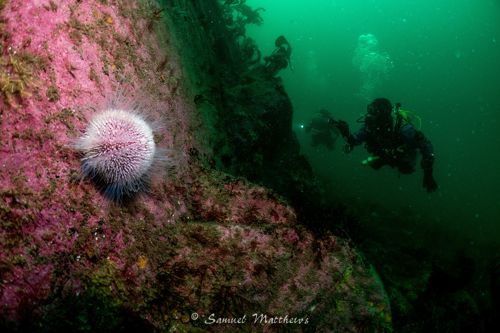
Marine Natural Capital Hub: Workflow




What Are Marine Assets?
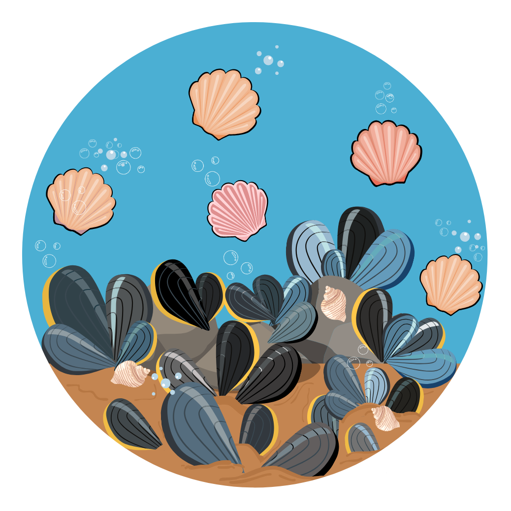
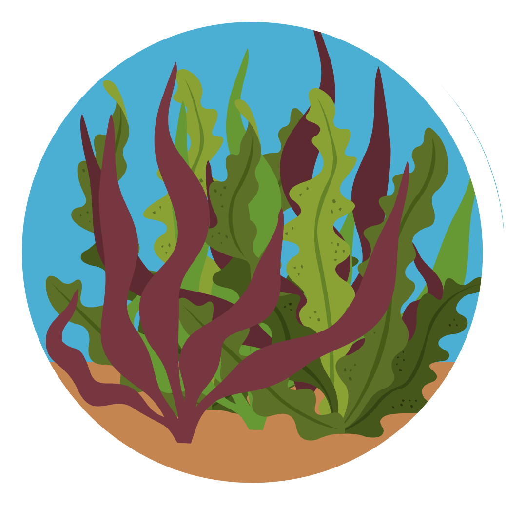
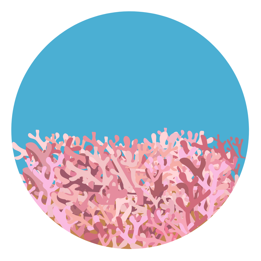
Marine natural capital assets are the living and non-living components of marine ecosystems. They include habitats, that structure marine systems and support ecological processes, and species that drive biodiversity and productivity. Together these assets represent the underlying stock that enables the flow of benefits, such as food provision, climate regulation through carbon storage, and cultural value.



Why Marine Assets Matter?
Natural capital assets are important because they determine how marine ecosystems function and the extent to which they can provide benefits to society. By understanding the distribution, condition and characteristics of these assets, we can identify the ecological processes that support services such as carbon sequestration, nutrient cycling, food provision and coastal protection. Investigating assets also helps us detect changes in ecosystem condition, assess pressures and develop evidence‑based management responses.
Within a natural capital approach, assets need to be clearly identified and defined to provide a robust basis for assessing ecosystem services and the benefits they deliver. Assets can be described and analysed through registers, inventories, logic chains and spatial mapping.
Consistency is critical. Habitat types are classified using established frameworks such as the European Nature Information System (EUNIS) and the Marine Habitat Classification for Britain and Ireland. Species are assigned unique Aphia IDs through the World Register of Marine Species to ensure records are standardised, traceable and interoperable.
Classification systems such as EUNIS help structure the understanding of assets by grouping them according to their physical and biological characteristics. By investigating assets within these classifications it allows us to consistently track how habitat type and condition influence the delivery of ecosystem services. This evidence underpins natural capital assessments, informs conservation planning and guides sustainable management. As such, understanding assets is the first step in linking ecological structure to ecosystem service flows, and it provides the foundation for subsequent mapping and modelling outputs, including the universal Asset Service Matrix and standardised habitat maps.
JNCC Outputs
The consistent classification of assets was an important focus of the mNCEA programme. Updated marine asset maps and the development of the universal Asset Service Matrix (uASM) were key outputs to address this aim under JNCC's 'A Natural Capital Approach to Achieving Good Environmental Status' project (Defra Science Search code: ME4527).
JNCC's Asset Maps
As part of the mNCEA programme, JNCC updated the seabed habitat reference layers to improve accuracy, fill data gaps and standardise methods across UK waters. These updates ensure that downstream ecosystem service mapping, including the outputs linked through the Universal Asset Service Matrix (uASM), are supported by a robust and high-quality evidence base.
The suite of UK Seabed Habitat products known as the UK Atlas of Seabed Habitats (UKASH), provide the most up to date, standardised view of the extent and distribution of broad-scale seabed habitats across the UK marine area. The mapping process uses established classification frameworks, including EUNIS and the Marine Habitat Classification for Britain and Ireland, to ensure that habitat types are described consistently across regions. The datasets incorporate bathymetry, substrate information, biological data and modelled layers, all brought together through a transparent methodology. The result is a coherent national product that supports marine planning, conservation advice and the development of ecosystem service models. For more details visit:UK Atlas of Seabed Habitats (UKASH)
UKSeaMap Predictive Map
UKSeaMap is a broad-scale prediction that uses physical models of depth, light, sediment and energy to predict the physical seabed habitats for the whole UK seabed, excluding the intertidal zone.
While more detailed maps exist for specific habitats and local areas, as contained in the Mosaic of Localised Maps, UKSeaMap offers a seamless and complete geographic coverage of the UK seabed below the low water mark.
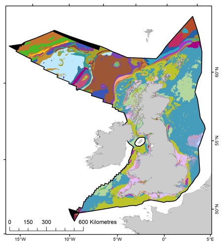
Where localised maps are lacking, it is used to fill the gaps in Mosaic of Localised Maps in the UKASH Combined Map.
On its own it offers a simple alternative to the UKASH Combined Map, where fine detail and high accuracy is less important.
UKASH Combined Map
Using the UKASH Mosaic of Localised Maps as a starting point, the UKASH Combined Map infills the gaps in the Mosaic of Localised Maps with the UKSeaMap Predictive Map to provide the most comprehensive full-coverage* map of seabed habitats in the UK.
Source maps vary in terms of spatial and thematic detail. Where the source is UKSeaMap, the spatial and thematic detail is typically low.
* Full coverage, except in the intertidal zone, where UKSeaMap is not available to fill the gaps.
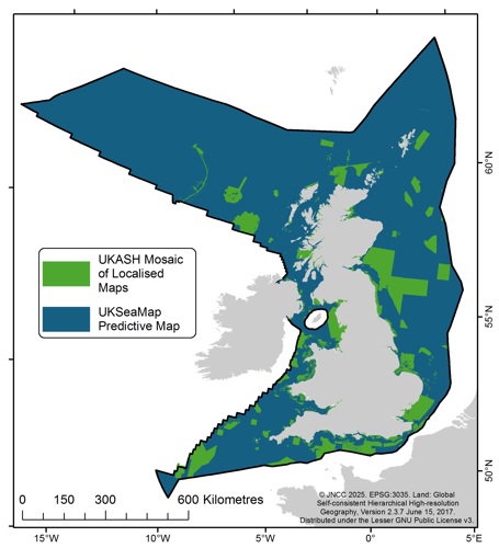
Its main strength is that it lets us calculate the total area of broad-scale habitats within UK waters and/or regional seas, using the best-available data. This is particularly useful for assessments of the adequacy of the UK marine protected area network.
For other purposes, it should be used with caution and understanding of its limitations caused by the varying quality of the source maps.
JNCC's Universal Asset Service Matrix (uASM)
During the mNCEA programme, the uASM was developed to ensure that ecosystem service assessments across the UK marine area used a common structure and evidence base.
The uASM is a structured framework that links marine natural capital assets to the ecosystem functions and services they support. It provides a consistent way to describe how different habitat types and species groups contribute to service provision and enables assessments to be repeated, compared and integrated across projects.
The uASM brings together standardised asset definitions, classification systems such as EUNIS and WoRMS Aphia IDs and evidence from ecological literature to map out the pathways from ecological structure to benefits. By aligning each asset type with the functions it performs and the services it influences, the matrix creates a transparent link between marine evidence and natural capital outputs.
The tool is designed to work alongside: 1) habitat maps to support the development of spatial ecosystem service layers; 2) indicators to inform condition assessments 3) service modelling tools.
Useful Links
-
UK Atlas of Seabed Habitats (UKASH)
“Overview of UKASH suite and components.” -
UKASH Combined Map v2025.1
“Most comprehensive full‑coverage map of seabed habitats in the UK (v2025.1).” -
UKSeaMap Predictive Map v2025.1
“Broad‑scale physical seabed habitat predictions for the UK (v2025.1).” -
Marine Habitat Mapping
“JNCC’s seabed habitat mapping programme and products.” -
The ‘universal’ Asset Service Matrix (uASM)
“Standardised, literature‑backed links between assets and ecosystem services. -
Marine Habitat Classification for Britain and Ireland (MHCUK)
“National seafloor habitat classification for UK waters that underpins mapping, assessment and reporting.” -
MHCUK classification site (browse hierarchy and biotopes)
“Interactive hierarchy with biotope pages, codes and resources for assigning and interpreting marine habitats.” -
MHCUK v22.04 overview of changes
“Summary of updates to MHCUK, including new and revised sublittoral sediment biotopes and code changes.” -
Assigning benthic biotopes using EUNIS or MHCUK (JNCC Report 546)
“Step‑by‑step guidance for assigning biotopes to survey data using MHCUK or EUNIS.” -
EUNIS habitat types search
“Official European browser for the EUNIS habitat classification, including the marine hierarchy.”
mNCEA Outputs focused on marine assets
The following mNCEA outputs focused on marine assets (The project codes can be used to search for the reports on Defra Science Search).
Categories:
Published: